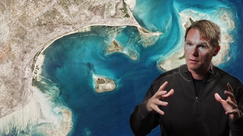
Rivers move. Fires occur. Cities grow. Forests shrink. Icecaps melt. Ecosystems change. That’s why Robbie Schingler founded Planet, with the mission to make global change visible, accessible and actionable. Five years ago, he began building satellites in a garage. Today he runs the largest constellation of Earth-imaging satellites in the world.
It’s early days for the company but the data is already being used for a diverse range of applications, from measuring agricultural yields to coordinating disaster relief and monitoring natural resources. Collecting untold amounts of data could transform the way we understand, and ultimately manage, our planet.
“We wanted to activate the pulse of the planet, actually allow for global change to be visible so you could see it in context,” he explains. “It’s really about what you do with that information, that’s when the impact comes. That’s when you can actually allow for people to make better decisions.”
► We chat to Schingler about the impact of 50 trillion pixel portraits and rocketing social responsibility.
“The moon is in sight, Mars is in sight. It’s a very exciting time to think about how to reprogramme society in order to bring the best of us forward as we actually go into the cosmos.”
Video produced by Atlas of the Future for Project Breakthrough (United Nations Global Compact/ Volans). Check out our other Breakthrough videos here.

